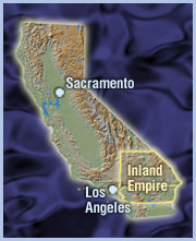
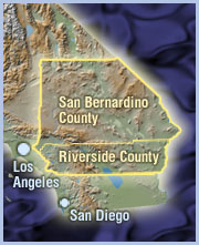
This is an interactive map of the Inland Empire. Feel free to zoom in or out for different levels of detail, pan the image around, or change the view between street, satellite or topographic terrain. The time it takes for the map to become visible or change views depends on your internet connection speed. |